
Drone inspections have become a familiar way to look at a roof, and for good reason. A small camera hovering over the ridge can show a chimney top, a valley or a flat roof that you could never see from the pavement, and it does it without ladders, scaffold or footsteps on fragile tiles. For a tall house, a steep slope or a roof with awkward access, that is a real advantage.
It is also easy to expect too much. A drone is a camera on a stick with no stick. It records surfaces. Water damage, rotten timber, failed underlay and damp insulation all sit out of sight, and a good set of aerial photographs will not reveal them. This guide sets out what the images do show, what they cannot, what a typical survey costs and how it fits with the rest of a roof survey. Our roof inspections and surveys hub covers the other methods.
What a drone sees well from above
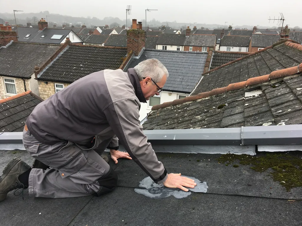
The best use of a drone is the top surface of the roof, photographed at close range from several angles. It shows a slate that has slid, a cracked tile or a gap where one has gone as clearly as if you were kneeling beside it, and it can pick out the line of a sagging ridge or a ridge tile that has come loose. The ridge is the row of capping tiles running along the very top, and the hips are the sloping spines where a hipped roof turns a corner. Both are hard to judge from the pavement because you see them edge-on.
Chimney stacks are another strong point. A drone can show cracked flaunching (the mortar bed that slopes away from the base of the pots), missing pointing, a leaning pot and the state of the lead where the stack meets the slope. Flat roofs benefit too, because standing water, blistered felt and split seams show up better in a view looking down than from a ladder at the edge.
Moss, lichen and debris in valleys and gutters are easy to spot as well. A valley is the sunken gutter formed where two slopes run together, and a blocked one is a common cause of overflow. Seeing the build-up from above lets us judge whether clearing it is the whole job before anyone mentions replacement.
What a drone cannot see
Everything beneath the covering is out of reach. A drone cannot show whether the rafters are sound, whether the battens are rotting, or whether the underlay beneath the tiles has split. Underlay is the membrane laid under the covering as a second line of defence, and on older roofs it may be missing altogether. None of that is visible from outside.
It also cannot tell you why a tile has slipped. On a slate roof, slipped slates in a line often point to nail sickness, where the old fixings have rusted through. The photograph shows the gap; the cause is found by lifting a slate or looking at the nails from the loft. Hairline cracks in tiles, a flashing that looks sound but has lifted behind the face, and mortar that is hollow rather than solid can all pass for fine in a picture.
Moisture is invisible to a standard camera. A roof can look perfect and still be wet inside the insulation, and a ceiling stain can sit well away from the opening that caused it. For that, a visit to the loft or a thermal survey adds what the drone lacks.
If a drone report says a roof is clear of visible defects, read it as a statement about the surface only. It cannot clear the timbers, the underlay or the insulation.
Weather, light and the quality of the pictures
Image quality depends on conditions. Flat, even light shows texture and edges best. Hard low sun throws deep shadows that can hide a crack or make a shadow look like one. Wet roofs reflect, which can blur detail on glossy tiles, and strong wind makes it hard to hold the camera steady close to a chimney or a roof edge, so a responsible operator will not fly in gusty weather.
Resolution matters as much as the drone itself. A wide shot that looks impressive may be too soft to show a hairline crack. Ask whether the report includes close, zoomed shots of each defect and a wide shot to show where it sits, and whether the images are sharp enough to enlarge. We want a photograph of a fault that someone else could look at and make the same call.
Does the drone replace a ladder?
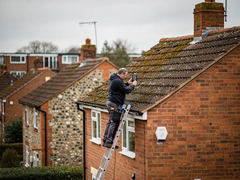
Not always. A ladder view at eaves level or a pole camera can be quicker and clearer for a single low gutter or a porch roof, and our page on the ways a roof can be inspected compares the options. We choose the method that suits the building, not the one that sounds most modern.
Rules, privacy and who should fly it
Flying a camera above a house is regulated, and the rules cover who may fly, where and how. We will not summarise them here, because they change and the operator is responsible for following the current requirements. What you can reasonably expect is that whoever flies over your roof can explain what they are permitted to do and that they take care over neighbouring properties.
Privacy deserves a moment of thought, because a roof is rarely isolated from the gardens around it. A drone filming your roof may also capture a neighbour's garden or windows. Ask how the operator handles that, and whether the images will be kept or shared beyond your report. On a terrace or semi where two roofs share a chimney stack or party wall, it is courteous to let the neighbour know before the survey, especially if the inspection will cover their side of the shared stack.
The ground matters as well, and a careful operator plans for it. People, pets, cars and glass roofs below the flight area are all things to plan around. A flight near a busy road or a school playground needs different arrangements again. These are practical points a professional raises before the battery goes in, not afterwards, and an operator who has not thought about them is telling you something.
What a drone survey typically costs
National price guides give a guide to what drone surveys cost, though they vary by roof size and how much detail is wanted. MyBuilder's roof inspection guide, updated on 21 August 2026, puts roof inspections generally at £150 to £500, with a standard inspection at £150 to £250 and a drone inspection at £200 to £400. It adds that a drone survey generally starts at £150. Thermal surveys sit higher, at £300 to £500 on the same page. Treat those as typical UK figures from an outside guide, not a price from us.
Three things push a drone survey towards the top of that range: how large the roof is, how many separate buildings are covered and whether the images arrive with a written report or as a folder of files. A bare gallery of photographs with no commentary is cheap to produce and hard to act on. A written summary that ties each image to a recommendation is worth more, because you can hand it to a roofer or an insurer without needing to interpret it.
If you are weighing a drone survey against a ladder-and-loft inspection, look at the cost of a roof survey overall. For most pitched houses the two are not rivals; the best result often combines a drone for the outside with a loft check for the inside.
How we use aerial images alongside the roof itself
When a roof looks complicated from the ground, aerial images can be the quickest way to understand it. We use them to plan a repair or a re-roof: counting slopes, checking where a valley meets a chimney, seeing whether a flat roof has outlets that are clear, or how many courses of tiles sit above a dormer window. That saves guesswork when a roofer has to price scaffold and plan the order of work. A set of images also helps a customer who cannot see the roof, such as a landlord living elsewhere or an owner whose house is three storeys high. They can open the pictures at the kitchen table and ask questions, instead of taking our word for what is up there.
They are a starting point rather than the full answer. After the photographs we normally want to look at the loft, check the underlay and fixings where we can, and test anything that the pictures flag as doubtful. Our guide to what to do when a survey flags your roof explains how those findings turn into a decision. Our photographs travel with the quote, so you look at the same views we did.
Will a drone survey make the quote fixed?
The quote is written and arrives after the survey. It prices the least work that cures the fault properly. Where the images show a handful of loose tiles and a tired flashing, that is the job, not a full re-roof. Where they show a covering that has run out of road, we tell you plainly and explain what we saw. Our own work comes with a written 10-year workmanship guarantee, and nothing is left behind once the job ends.
When a drone is the wrong tool
There are jobs where a drone adds little. A simple single-storey extension with an accessible edge is quicker to check from a ladder. A leak whose source is probably inside, such as condensation or a failed pipe, will not be found on the outside. A roof under heavy tree cover leaves the camera little room to fly or to see through the branches. And in tight terraces the gap between one chimney and the next can make a safe flight difficult.
Period roofs raise a separate point. A Victorian slate roof or a Cotswold-edge stone slate roof carries its history in details that are best judged by hand: the age and fixing of slates, how they have been patched, and whether past repairs used the right materials. A drone can document that detail, but a person has to interpret it. Our guide to period roof surveys covers that side.
Here is a simple test. If you want to know what is on top of the roof, a drone is a fine way to find out. If you want to know whether the roof is sound, you need someone to look beneath it too. Pick the survey to fit the question, and ask what each method will leave you still not knowing. A good surveyor will answer that without hesitating, and will tell you when a second visit inside the loft is worth the extra time.